GIS & Territorial Analysis

GIS4tech was born to provide technical assistance based on GIS methodology in the Engineering and Urban Planning areas. Our dedication and experience make us specialists in the management of any project. What we do:

Territorial Analysis Techniques we apply

GIS & Engineering | Urban Planning

Hydrological and Hydraulic Studies
1D | 2D

Analysis of
Space Networks

Topographic, Thematic 2D Mapping
Processes, Flows, Spatio-temporal

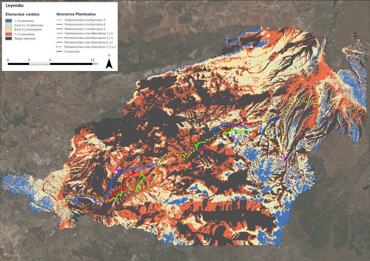
3D Cartographies, Infographics
3D Simulations, Photomontages

DTM applications and
LiDAR Analysis

Feasibility Studies
of Infrastructures

Design and Proejection
of Infrastructures

Territorial Diagnosis and
Environmental Impact Studies

GIS & Urban Data Analysis

Generation of KPIs for
Urbanism

Assessment for the developping
of Smart Cities

Facility
Management

Urban
Revaluation

Transport
Assessment

Mobility & Accesibility |
Active Commuting

Sustainable Planning
Support

Income Maps |
Real Estate

Architecture Projects
& Assessment

error: Content is protected !!