
The Los Guájares fire has taken away one of the green lungs of Granada, and one of the most impressive landscapes of the province.
With more than 5,000 hectares razed, the fire is the fourth worst forest fire in the history of Grenada and the worst in 29 years.
The methods of tracking and detection, are much improved, and in many places it has been possible to make an exhaustive analysis of what has happened.
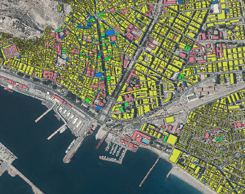
Thus, the company Gis4Tech, which was in charge of the 3D recreation of the Granada-Motril train project, has used the same technology and the images of the Copernicus system to create several recreations of the area of the fire and how the smoke reached the capital in the previous days.
Hace 4 días empezó el #IFLosGuájares, en la Provincia de Granada, que ha arrasado casi 4.000 hectáreas, con 18 focos activos y afectando a 4 poblaciones.
— GIS4tech (@GIS4tech_UGR) September 12, 2022
En este video 3D, elaborado con información de @CopernicusEU se puede ver el área del incendio. pic.twitter.com/pOmmplSHCQ



Part of the information in this news item has been obtained from the web site of Profith UGR
Correo electrónico: info@gis4tech.com
